
Bloomington ZIP Directory Coverage
Four Census ZIP Code Tabulation Areas intersect Bloomington city: 61701, 61704, 61705, and 61761. A ZCTA is a Census approximation, while a USPS ZIP code routes mail. The broader Bloomington sorting facility serves more codes, so its service list is not a city-boundary list.
| ZIP Code | Areas Covered | Post Office | Notes |
|---|---|---|---|
| 61701 | Central Bloomington delivery | Bloomington Post Office | City delivery ZIP and ZCTA |
| 61702 | Bloomington PO boxes | Bloomington Post Office | PO-box ZIP |
| 61704 | Bloomington-area delivery | Bloomington facility | Does not define city limits |
| 61705 | Bloomington-area delivery | Bloomington facility | Extends beyond a simple city label |
| 61761 | Normal delivery area intersecting Bloomington | Normal Post Office | Postal city differs from municipal boundary |
Use the USPS ZIP Code Lookup for one current address. Illinois State University tells students to use 61790 or 61791 for residence-hall mail, while university business mail uses 61790. Institutional delivery rules add a layer that must stay separate from residential geography.
Bloomington Postal Files Change
USPS publishes the City State Product monthly. Record the source date beside every ZIP result. Use USPS for delivery, Census for ZCTA statistics, and Bloomington maps for wards and neighborhoods.
The official file page appears in this captured source.
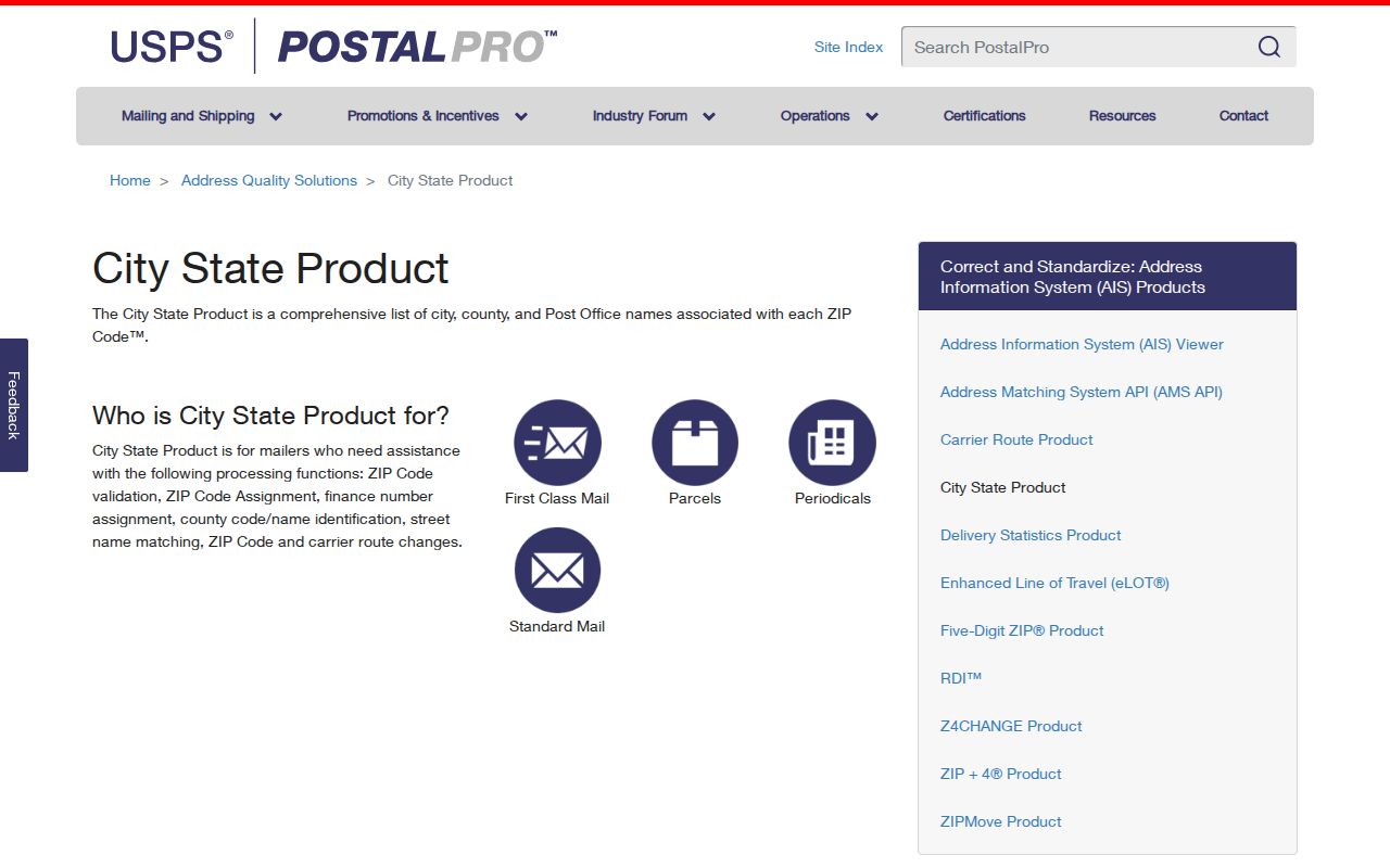
Its update cycle explains why an old directory may carry a prior postal label.
Bloomington ZIP Search Fields
The Illinois voter lookup requires first name, last name, birth date in MM-DD-YYYY form, and a five-digit ZIP. A second step asks for street number and a street-name dropdown loaded from that ZIP. It confirms one registration, not everyone in the code.
| Field | Required | Use |
|---|---|---|
| Name | Yes | Identity key |
| Birth date | Yes | Date match |
| Five-digit ZIP | Yes | Loads street choices |
| Street number/name | Second step | Completes location match |
Bloomington city voters use the Bloomington Election Commission; county voters outside the city use McLean County Elections.
The Bloomington Post Office as a ZIP Checkpoint
The main Bloomington Post Office is at 1511 E Empire Street, Bloomington, IL 61701-3528. Its official location record is useful when a search turns on the facility serving a delivery address, a PO box, or the postal city attached to a code. The Normal Post Office at 200 W North Street serves a different postal identity even though Census geography for 61761 intersects Bloomington.
The USPS Bloomington Post Office listing shows the current facility page and its retail and PO Box services.
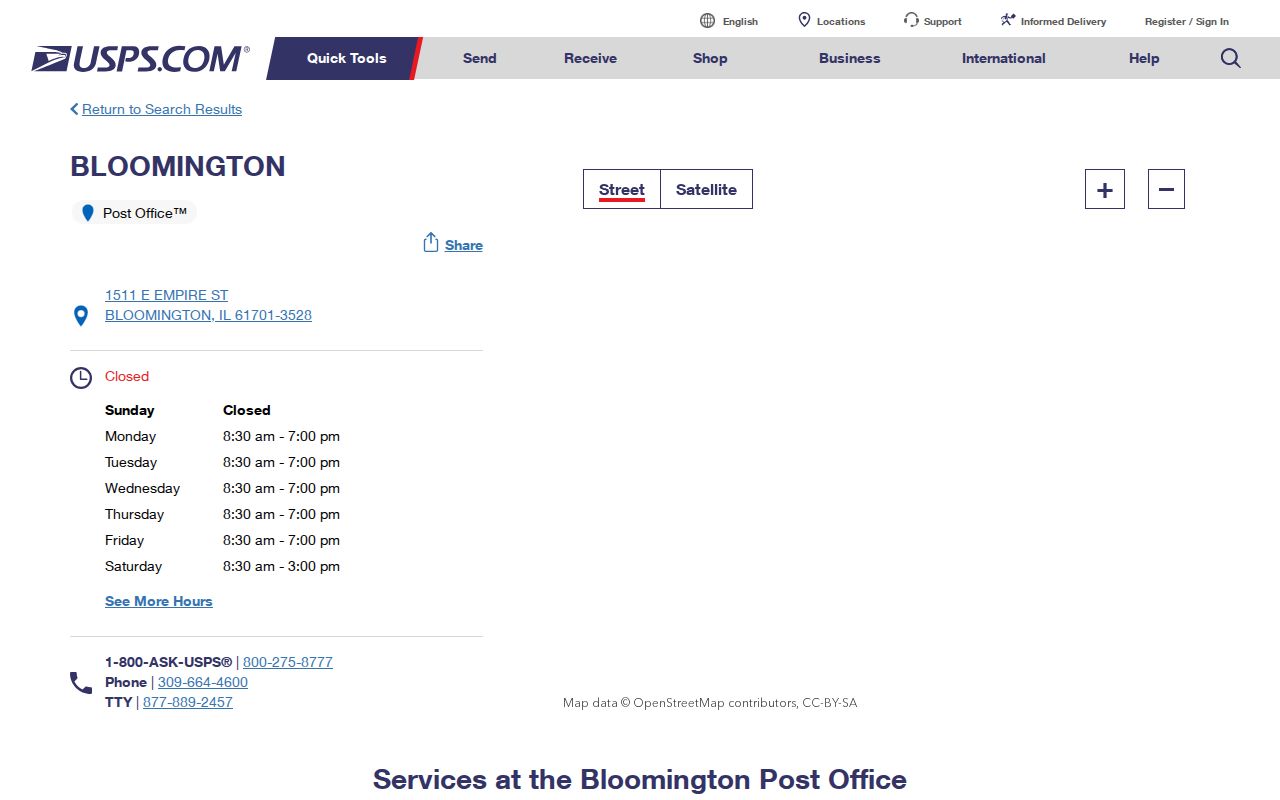
The facility listing confirms where postal service is handled, but it still does not turn the ZIP code into a municipal boundary.
Why Bloomington ZIP Code Labels Need Verification
A postal city is a preferred mailing label, not a statement about taxes, voting authority, wards, or annexation. USPS routing bulletins group Bloomington-area codes such as 61701, 61702, 61704, and 61705 for mail operations. Census data, by contrast, shows four ZCTAs intersecting the city. The two lists answer different questions, which is why a Bloomington ZIP code directory must name the geography behind each claim.
The USPS explanation of ZIP Code basics describes the delivery purpose of the system.
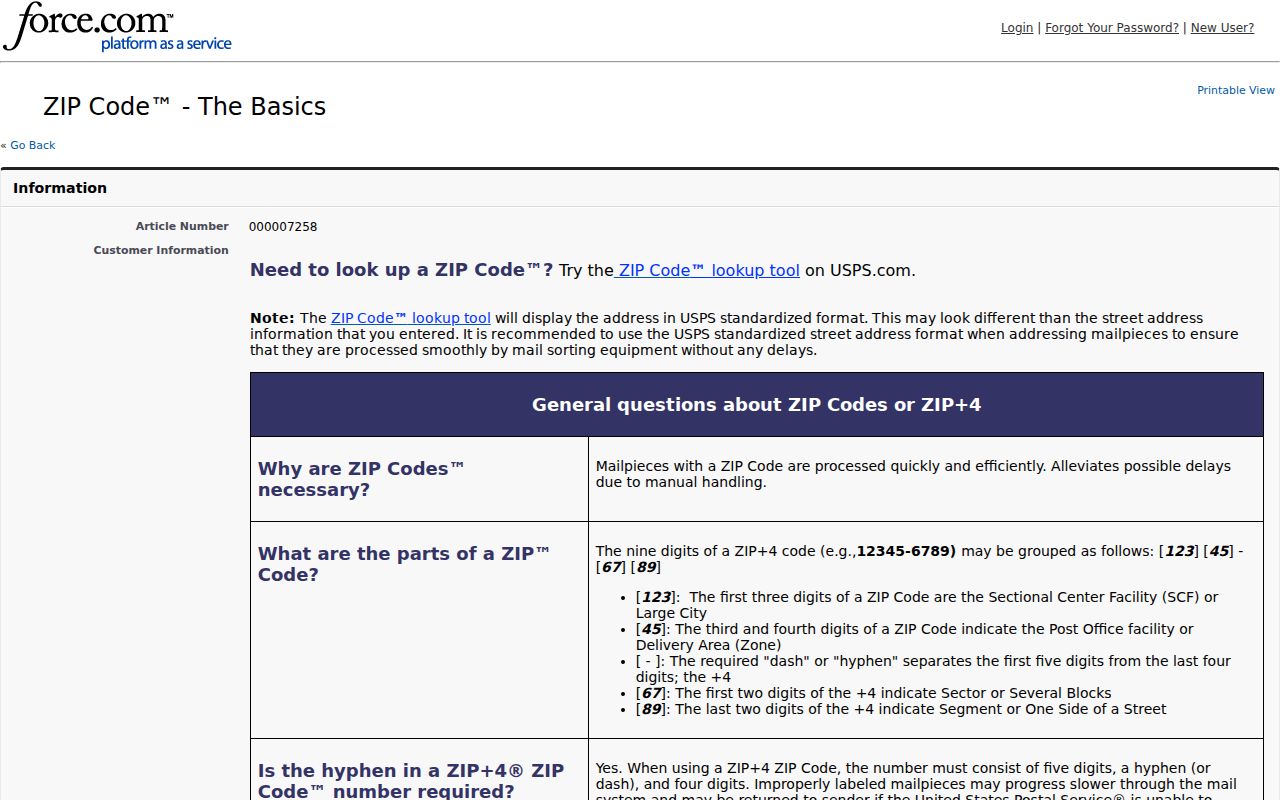
That delivery focus is the reason a Bloomington mailing address may need a separate city-limit or ward check.
Find Bloomington Residents by ZIP
No official tool exposes one ZIP-wide resident list. Begin with a known name and code, then use the custodian source suited to that fact.
- Confirm the address and current code with USPS.
- Enter name, birth date, and ZIP in the Illinois registration lookup.
- Search McLean property records by house number, street, city, owner, or PIN.
- Move to the Bloomington street directory when a street is known.
A negative result can mean an old code, protected record, spelling mismatch, or wrong election authority. It does not prove absence.
USPS Lookup Routes for a Bloomington ZIP Code
The USPS lookup works in two directions. An address search returns the standardized mailing form and ZIP Code. A city-and-state search returns codes associated with that postal place. Use the address route when checking one resident clue because the city-and-state result can include codes that reach beyond Bloomington's incorporated edge. Preserve the standardized street form before moving to a property or voter portal, since punctuation, directionals, and street suffixes can affect a second search.
The official USPS ZIP Code Lookup is the current address-specific starting point.
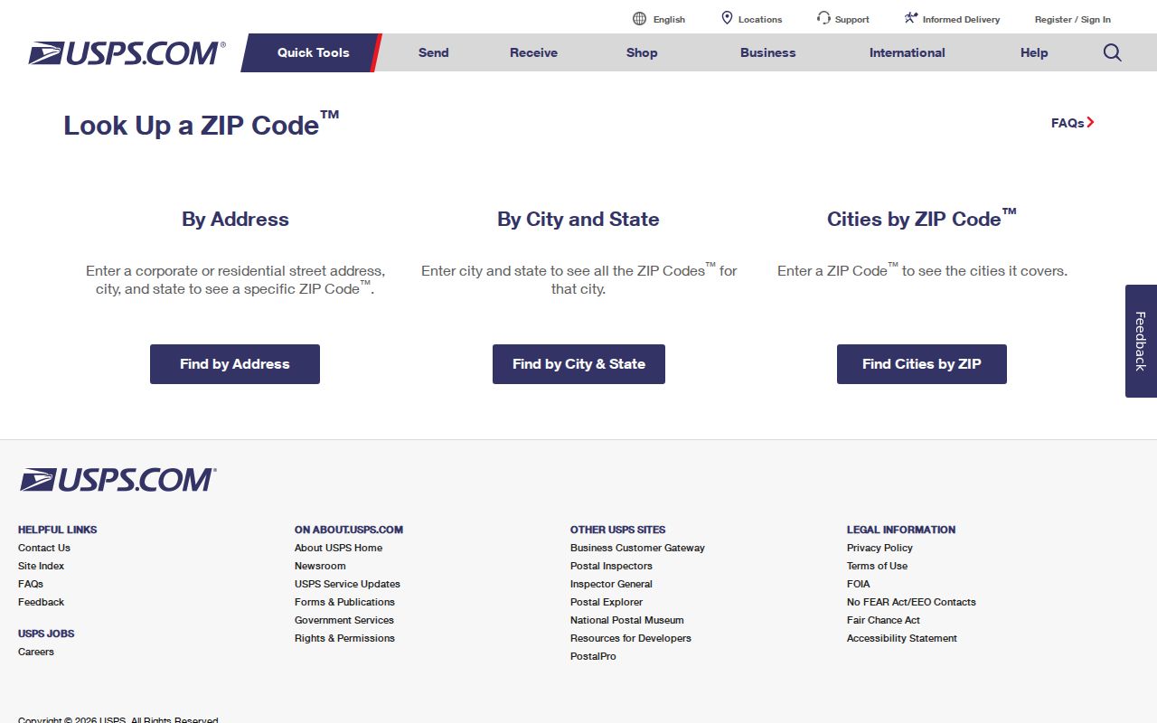
Carry the verified five-digit code into the voter form, then use the exact street and house number for parcel research.
Bloomington ZIP Codes Across Property and Campus Records
The McLean County Property Tax Inquiry does not make ZIP the main search key. Its useful fields are parcel number, owner name, house-number range, street, city, sale range, tax code, tax district, property class, and legal description. That means a verified ZIP must first narrow the likely postal area, then yield to a street address or PIN. Search the standardized house number and street, keep the city field broad enough to account for a postal label, and use the resulting parcel only as a property clue. The county portal warns that its information is not a tax bill or proof of legal ownership. A deed and its vesting must be confirmed through the McLean County Recorder.
This handoff matters most near Bloomington's municipal edge. A 61761 mailing clue can point toward Normal postal service while Census mapping shows that the 61761 ZCTA intersects Bloomington. Codes 61704 and 61705 also should not be read as clean outlines of the city. Once a parcel is located, Bloomington's ward map can test whether it sits within one of the city's nine wards. County GIS can supply parcel geometry and a PIN, but the public parcel layer inspected for the research contains no owner or street-address field. The tax system and Recorder remain separate steps.
Campus mail adds another local distinction. Illinois State University instructs residence-hall senders to use 61790 or 61791 according to the campus addressing rules, while university business mail uses 61790. Those codes describe institutional delivery, not a general list of Bloomington households. A student's campus mailing code should therefore be verified with the university instructions and should not be converted into a claim about a permanent residence, city ward, or privately occupied parcel.
A careful Bloomington ZIP code directory keeps four labels beside every note: the five-digit USPS code, the postal city, the municipal jurisdiction, and the source date. Add a ZCTA label only when using Census data. This simple record makes later checks much easier because it shows whether a conclusion came from a delivery file, a city map, a Census approximation, or a county record. If the sources disagree, keep the disagreement visible and use the address-specific custodian rather than choosing the most familiar city name.
Bloomington ZIPs Versus City Limits
Postal names route mail. They do not establish city residence. Bloomington has nine current wards, and city research identifies 34 neighborhoods or districts. Neither layer must match a ZIP or ZCTA.
- ZIP and ZIP+4
- Five digits mark delivery geography; four more narrow a segment.
- PO-box ZIP
- A code assigned mainly to Post Office boxes.
- Unique ZIP
- A code assigned to one large institution.
- Carrier route
- The addresses served on one delivery route.
Boundary check. Confirm city status with a municipal or Census boundary source, not the mailing city beside a ZIP.
For statistics, label Census ZCTAs as approximations. For delivery, use USPS. Keeping each layer named prevents an unsupported residency claim.